Yahoo
MSN
Google
ABOUT SOHO
What We Do
Board of Directors & Staff
Committees
History of SOHO
In the News
Affiliations
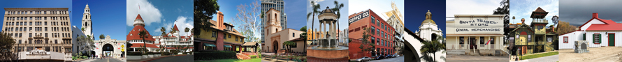
OUR HISTORIC SITES
Adobe Chapel
Derby-Pendleton House - Offices of SOHO
Hoover Barn
Marston House Museum & Gardens
Santa Ysabel Store
The Feed Store - Antiques & Such
Verna House
Warner-Carrillo Ranch House
Whaley House Museum
Wedding & Venue Rentals
Museum Shops
ADVOCACY
Preservation Action Alerts
Contact your Representatives
Most Endangered List of Historic Resources
Standards & Regulations
People In Preservation
Lost San Diego
Ways to Donate
Volunteer
In the News
TOURS & EVENTS
SOHO Events Calendar
Marston House Museum Tours
Warner-Carrillo Ranch House Museum Tours
Whaley House Museum Tours
Tour Booklets
Community Partners Events
PRESERVATION RESOURCES
Resource Links
Historic Districts
Old House Resource Directory
Sherlock Homes
Research your House
Historic Designation & Mills Act Facts
Preservation & Sustainability
PUBLICATIONS
Our Heritage News
Our Heritage Press
Old House Resource Directory
Tour Booklets
Our Heritage Magazine
Videos
SUPPORT
Membership
Ways to Donate
Shop SOHO
Volunteer
Connect with SOHO Social Media
BACK
to HOME PAGE
ABOUT SOHO
What We Do
SOHO Board of Directors & Staff
Committees
History of SOHO
In the News
Affiliations
Founder Robert Miles Parker
Obituary
Social Media Connections
2476 San Diego Avenue · San Diego CA 92110 · Phone (619) 297-9327
Home
|
Contact